Surface Water and Pluvial Flooding
Flooding from rainfall that cannot be absorbed or drained fast enough, overloading drainage systems and moving across terrain, especially in increasingly impermeable urban areas.

The Groundwater Company provides flood management solutions, flood risk assessment services, flood modelling and mitigation planning for industrial facilities, urban developments and critical infrastructure. Our assessments integrate surface water, groundwater, drainage and compound flood risks to support engineering and resilience decisions.
Most flood risk assessments focus on the obvious sources: rivers that overflow, rainfall that runs off faster than drainage can handle. They produce a flood zone map, a planning note, and a compliance tick. What they frequently miss is the flood risk that comes from below.
Groundwater flooding. Rising water tables. Subsurface drainage failure. Combined flood events where multiple sources interact simultaneously. Infrastructure designed to withstand one flood type, failing when another source arrives at the same time.
A peer-reviewed global flood exposure study covering 188 countries highlights the widespread exposure of people and communities to significant flood hazards. For infrastructure developers, industrial operators, and asset owners, this reinforces the importance of evaluating flood exposure before making long-term planning and investment decisions.
Organizations commission The Groundwater Company's flood risk assessment and advisory services when they need a complete picture of flood exposure, not a partial one. That need commonly arises across these contexts:
The common requirement in each context is flood risk assessment built on a complete understanding of all flood sources, not just the ones that appear in a standard surface water model.
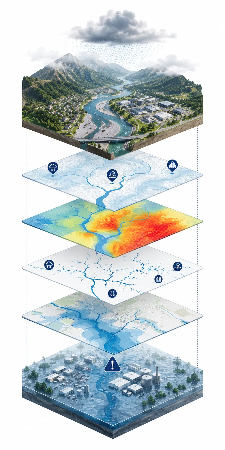
Flood mitigation programs fail more often than they should, and the failure modes are consistent enough to be instructive. Most trace back to decisions made early, before the risk was properly characterized.
Sites assessed for one flood mechanism often proceed with an incomplete model, then fail when the material source is actually surface water, groundwater, or a combined event that was never examined.
Sites in shallow or responsive geologies pass standard screening, then basements, foundations, and drainage systems encounter groundwater conditions that the surface water model did not include.
Assessments that do not incorporate climate projections, upstream catchment behavior, soil conditions, and land use can be correct today yet inadequate across the asset's actual design life. The IPCC assessment of climate-related water risks provides scientific context for how climate change affects water-related hazards and the need to consider future conditions in long-term infrastructure planning.
Raised levels, bunds, or pumped systems specified before the flood source, extent, and behavior are confirmed will often be overdesigned, underdesigned, or addressing the wrong problem entirely.
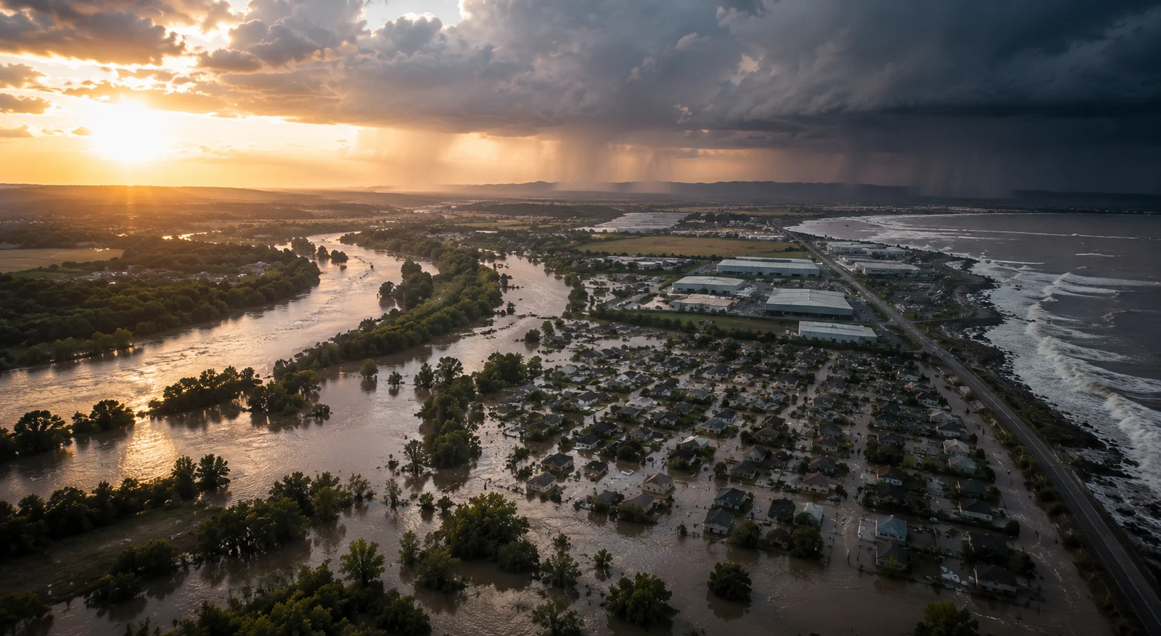
Credible flood risk management requires understanding all five mechanisms and how they interact. Assessing only one or two produces a risk picture that may be incomplete in the direction that matters most for a specific site.
Flooding from rainfall that cannot be absorbed or drained fast enough, overloading drainage systems and moving across terrain, especially in increasingly impermeable urban areas.
Flooding from rivers and watercourses that exceed bank capacity during high-flow events, shaped by catchment hydrology, channel capacity, and floodplain extent.
Flooding when the water table rises to or above the ground surface, often absent from conventional assessments but highly material for below-grade infrastructure and prolonged events.
Flooding from sea level, storm surge, tidal conditions, and coastal inundation affecting low-lying coastal and estuarine assets.
Flooding where two or more sources occur simultaneously or in close sequence, producing a combined impact greater than either source alone.
Our assessment services cover site flood risk assessment, urban flood risk assessment, stormwater flood assessment and industrial flood risk assessment. We evaluate catchment hydrology, drainage capacity, groundwater conditions and potential flood impacts to inform planning, infrastructure design and operational risk management. For organizations evaluating broader water-related operational and environmental exposure, our water risk assessment and audit provides a complementary assessment scope.
Mitigation strategy design, sustainable drainage advisory, climate resilience and adaptation planning, infrastructure flood resilience assessment, and pre-transaction flood due diligence.
Every engagement follows a structured sequence that identifies all relevant flood sources before modeling, mapping, mitigation, and planning support begin.
We identify all relevant flood sources for the site or asset, assessing the significance of surface water, groundwater, fluvial, coastal, and compound mechanisms before any modeling begins.
We evaluate site topography, drainage infrastructure, catchment behavior, land use, soil conditions, and hydrogeological context to understand the system controlling flood response.
We analyze both surface water hydrology and groundwater conditions, integrating them into a complete picture of flood behavior across seasonal and extreme-event scenarios. Where detailed aquifer investigation is required, our groundwater consulting services provide additional hydrogeological assessment.
We model flood behavior across defined return periods and climate scenarios, producing spatial outputs with documented assumptions and uncertainty ranges for planning, design, and risk management.
We map flood extent, depth, velocity, and duration across the site or study area, formatting outputs for planning, design, insurance, and regulatory use.
We assess consequences for assets, operations, infrastructure, and people, identifying where exposure is most material and what different flood magnitudes would mean in practice.
We develop mitigation strategies matched to the confirmed risk profile, site constraints, and regulatory context rather than applying a generic standard solution.
We assess how flood risk is projected to change over the design life of the asset or program, ensuring mitigation remains effective under future conditions.
We prepare flood risk assessments, sequential and exception test documentation, drainage strategies, and technical reports structured for planning and regulatory submission.
Our flood risk assessment consultants provide flooding advisory support throughout planning, design, construction and operations. Each flood advisory service is scoped to project requirements, combining flood vulnerability assessment, technical risk evaluation and mitigation recommendations. Support can extend from pre-application and approval through long-term operational and resilience review.
Groundwater flooding is the flood-risk dimension most consistently absent from conventional flood consulting. It builds from below over days or weeks, driven by cumulative rainfall, aquifer recharge, and seasonal groundwater patterns that standard surface-water models do not capture. For certain site types and geologies, it is the most significant flood mechanism and the hardest to mitigate after design is fixed. Where rising groundwater causes below-grade water intrusion, a groundwater seepage investigation can help identify the pathways affecting basements and foundations.
The WMO State of Global Water Resources reports provide international context on changing hydrological conditions, including water availability and variability across regions. These observations help explain why flood assessments should consider broader hydrological conditions alongside site-specific rainfall, groundwater, and drainage data.

Flood risk is a probabilistic problem. The question is never whether flooding will occur, but at what frequency, at what depth, and under what conditions it becomes a material risk to the asset or operation.
Modeling across defined return periods and climate scenarios with spatial outputs presented alongside documented assumptions and uncertainty ranges.
Integration of aquifer recharge, seasonal trends, and extreme-event response to assess groundwater flood probability and extent.
Integrated spatial mapping across surface water, groundwater, fluvial, and coastal data to produce one flood-risk picture.
Assessment of how rainfall intensity, groundwater recharge, and sea level change alter the flood profile across the asset design life.
Evaluation of how concurrent flood sources interact under extreme conditions instead of treating them as isolated events.
Asset prioritization by flood exposure to direct detailed assessment resources to the highest-risk locations first.
Every model output is reviewed by an experienced specialist before it informs a flood assessment, planning submission, or mitigation design.
We present modeling outputs with documented assumptions and uncertainty ranges rather than single-point flood extent determinations.
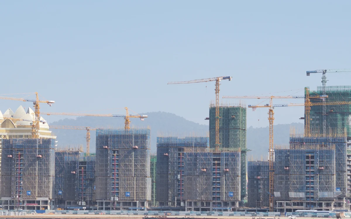
Flood assessment for large-scale projects supporting planning approval, design compliance, and long-term resilience.
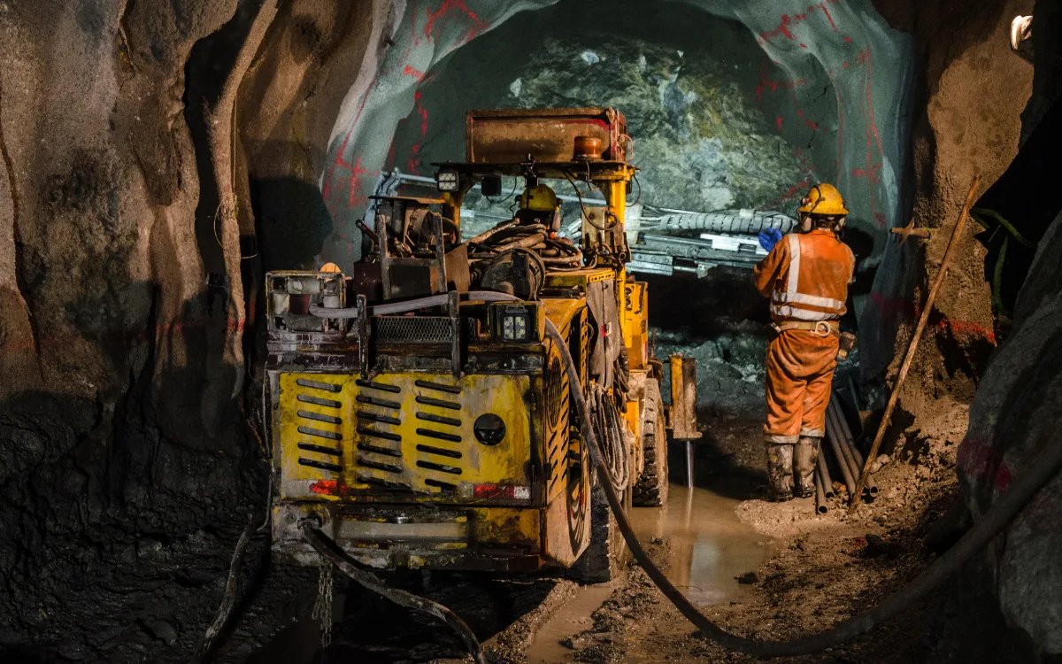
Flood risk assessment for mine sites, processing facilities, and infrastructure where surface water, groundwater, and catchment flooding affect operations and closure planning.
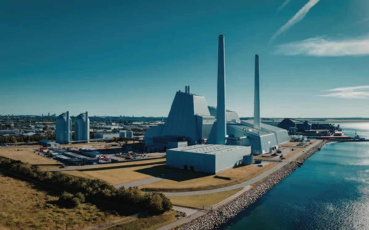
Operational flood exposure assessment supporting risk management, insurance, and business continuity planning.

Flood resilience assessment for generation sites, substations, utility corridors, and energy infrastructure in exposed locations.

Flood advisory for public infrastructure, urban drainage programs, and community resilience planning.
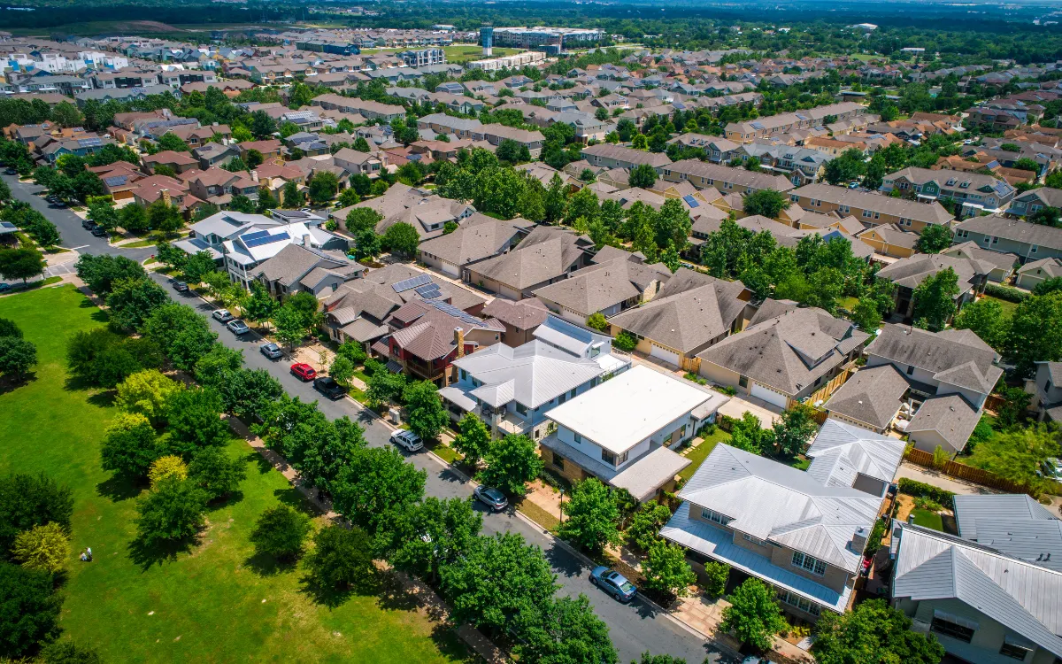
Flood risk and sustainable drainage advisory for residential, commercial, and mixed-use development programs requiring approval.

Flood assessment for road, rail, and corridor projects where surface water, fluvial, and groundwater flooding affect alignment and operation.
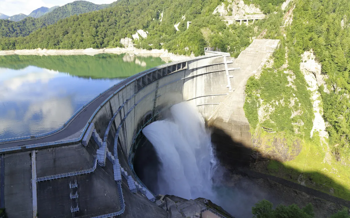
Flood assessment and hydrological analysis for extreme-event performance and downstream consequence evaluation.

We assess surface water, groundwater, fluvial, coastal, and compound flooding within one integrated engagement instead of leaving hidden risk outside the study scope.
As a hydrogeological practice, we bring subsurface expertise to flood consulting that conventional flood assessments often do not include.
Planning submissions, investment due diligence, and operational resilience reviews require different model resolution, scenario coverage, and output structure. We scope accordingly.
Climate scenarios are incorporated from the outset so flood mitigation is designed for the asset life, not just for current standards.
Our flood risk assessments are structured to meet the methodological and documentation expectations of planning authorities, regulators, and agencies.
We do not recommend mitigation before assessment is complete. Strategies are developed from the confirmed risk profile, not from a preselected standard solution.
Flood behavior changes with climate, urbanization, and land use. Our resilience programs account for that trajectory rather than freezing the analysis at current conditions.
We translate technical flood findings into outputs usable by planners, engineers, operators, investors, and boards.
Flood risk assessment and advisory programs at The Groundwater Company are delivered through hydrology and surface water assessment, hydrogeology and groundwater analysis, hydraulic modeling, environmental engineering, GIS and geospatial analysis, coastal and estuarine assessment, climate risk analysis, sustainable drainage design advisory, environmental risk assessment, and regulatory and planning documentation.
Each solution produces auditable data and decision-ready outputs.

Aquifer studies, hydrogeological investigations, and long-term management strategies.
Explore Groundwater Consulting
Artificial recharge systems and replenishment programs with measurable yield tracking.
Explore Groundwater Recharge
Groundwater quality assessment, contamination monitoring, hydrochemical analysis, and long-term trend intelligence.
Explore Groundwater Quality Monitoring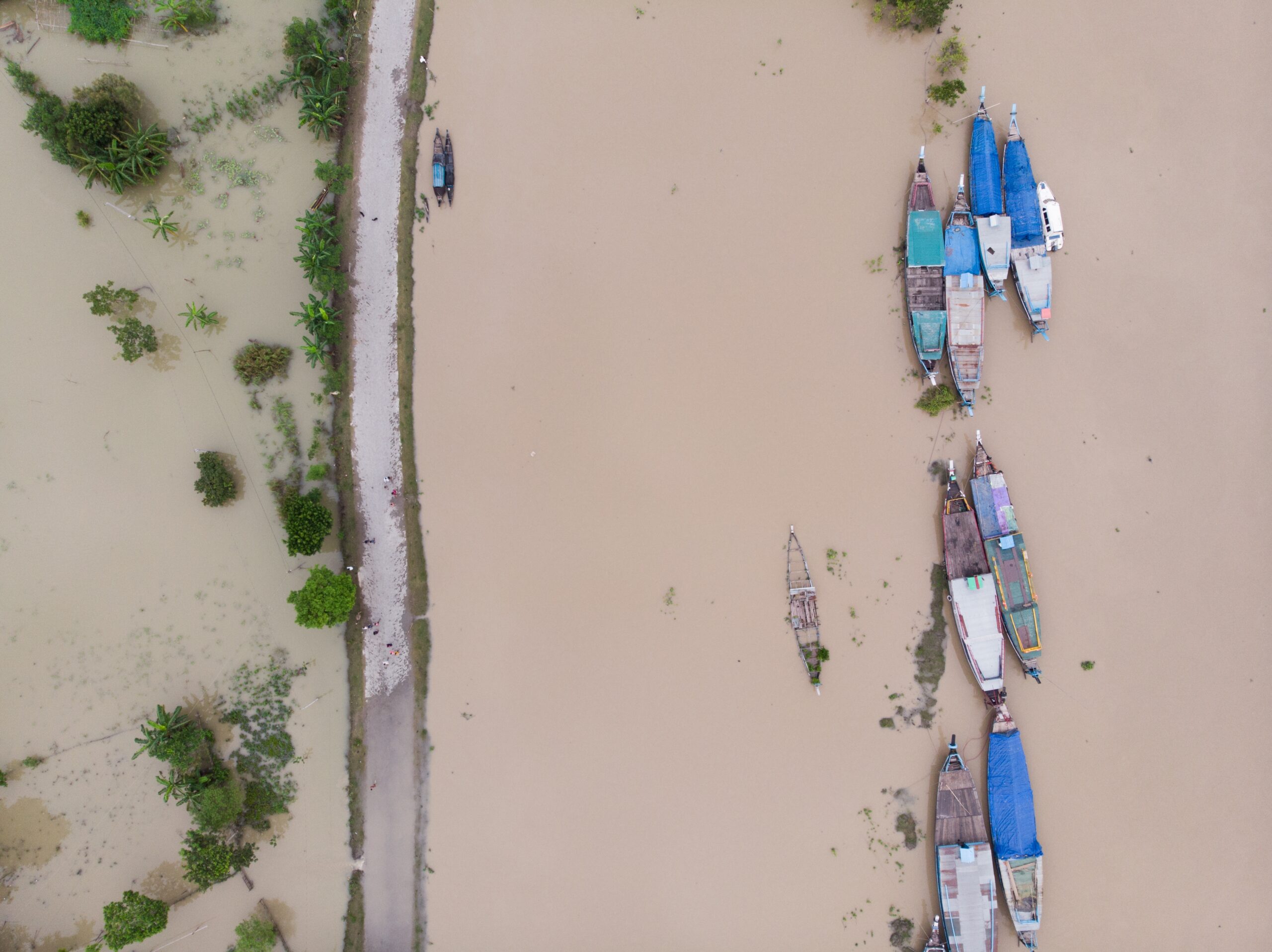
Flood assessment, modelling, mitigation planning, and resilience analysis across surface and groundwater flood sources.
Current Solution
Contaminated groundwater treatment, contaminant transport modelling, and regulatory closure.
Explore Groundwater Remediation
Subsurface investigations and geotechnical intelligence for mining and tunneling.
Explore Rock Mapping
Water intrusion diagnostics for construction, metro rail, and underground structures.
Explore Groundwater Seepage
Risk assessment covering groundwater, water quality, supply, regulatory, operational, and sustainability exposure.
Explore Water Risk Assessment
Integrated planning across water supply, demand, allocation, sustainability, and long-term resource management.
Explore Integrated Water Management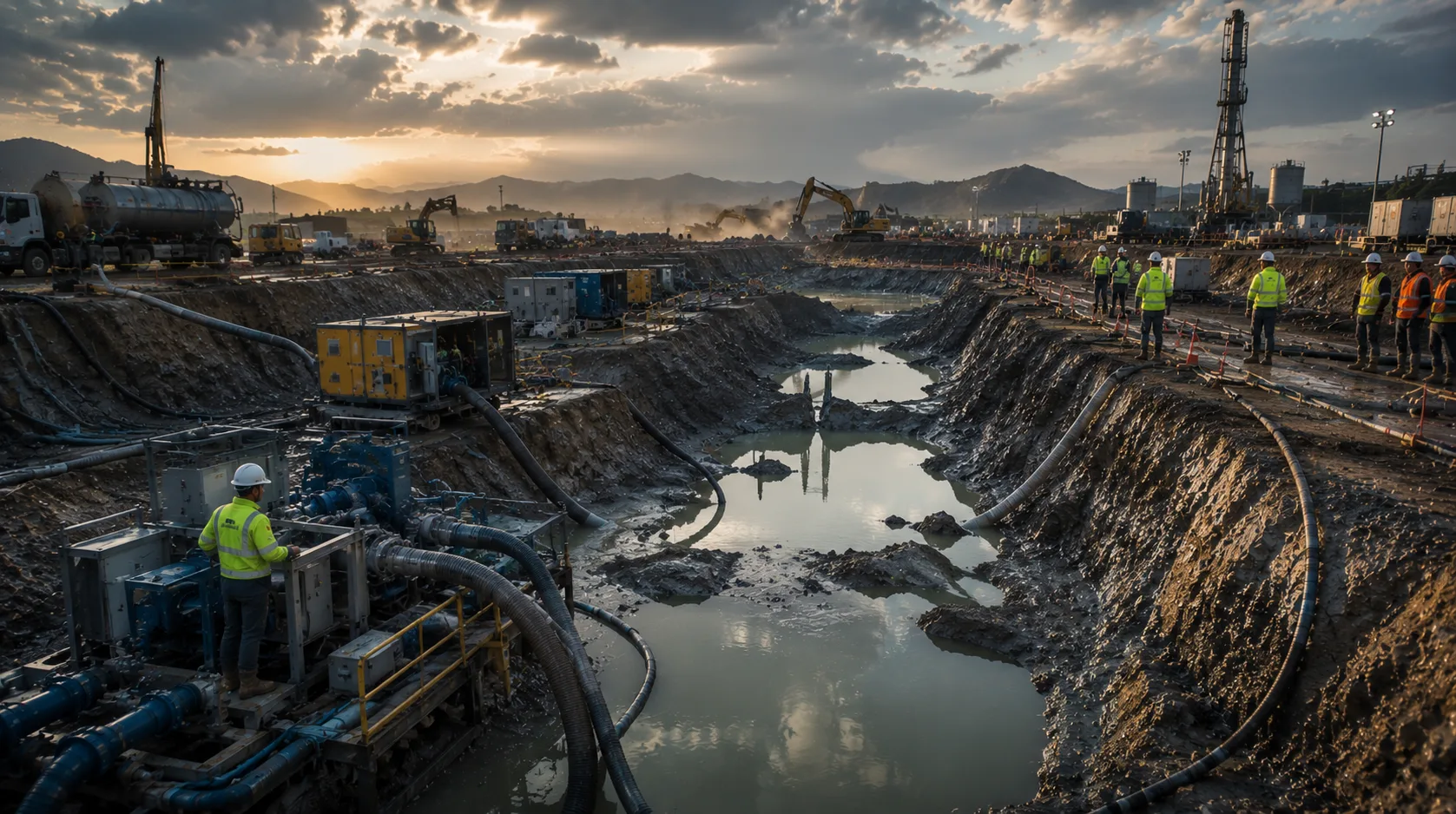
Groundwater control, dewatering assessment, system design, and management for construction, excavation, and mining projects.
Explore Dewatering Solutions
Contaminated land assessment and soil remediation for brownfield and industrial sites, with documentation supporting safe reuse.
Explore Soil RemediationShare your site, project, or infrastructure context and our team can review the flood-risk requirement with the right technical disciplines in mind.
Whether the requirement is a planning-stage flood risk assessment, a groundwater flooding investigation, a pre-transaction due diligence, or a climate resilience program, the starting point is a complete picture of flood exposure across all relevant sources.