
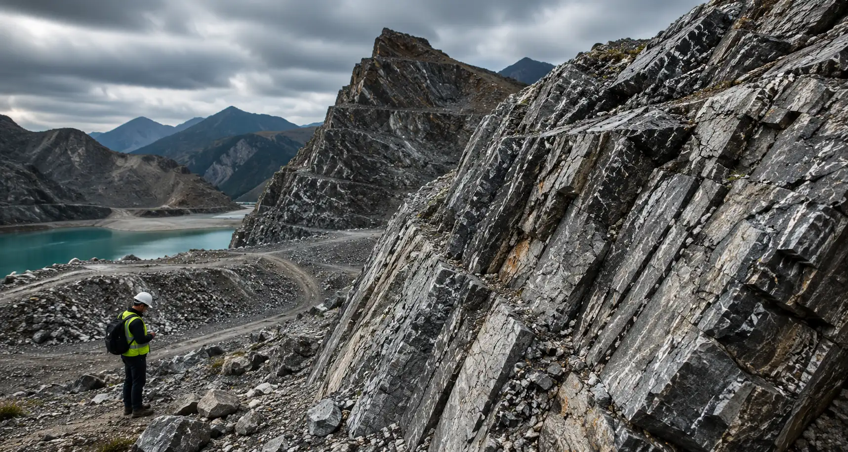
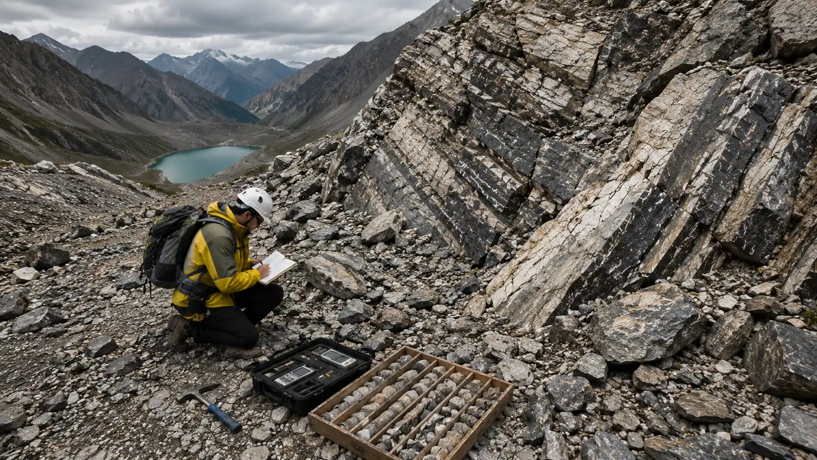
We map surface geology, rock exposures, lithological boundaries, and formation contacts across the site through direct field investigation.
Rock Mapping & Geological Intelligence
Field-verified geological intelligence from The Groundwater Company for infrastructure, mining, tunneling, and dam projects. Built on field investigation, structural interpretation, and 3D modeling.
Rock Mapping Challenges
Rock conditions are rarely uniform, and they are rarely fully understood before a project commits to a design, an alignment, or an excavation sequence. The consequences of that gap compound quickly.
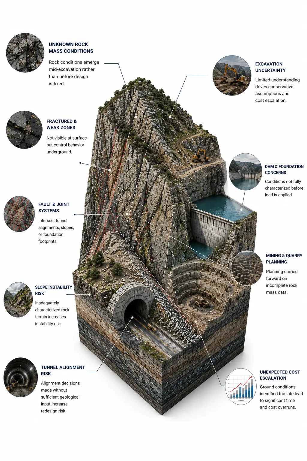
- Unknown rock mass conditions that emerge mid-excavation rather than before design is fixed
- Fractured and weak zones that are not visible at surface but control behavior underground
- Fault and joint systems that intersect tunnel alignments, slopes, or foundation footprints
- Slope instability risk in rock terrain that is inadequately characterized before construction begins
- Tunnel alignment decisions made without sufficient geological input, increasing redesign risk
- Excavation uncertainty that drives conservative assumptions, excess contingency, and cost escalation
- Dam and foundation conditions that are not fully characterized before load is applied
- Mining and quarry planning carried forward on incomplete rock mass data
- Unexpected cost escalation from ground conditions that a structured geological investigation would have identified earlier
The common factor is the same across project types: rock conditions that are interpreted too late, too broadly, or without field verification.
How The Groundwater Company Approaches Rock Mapping
Geological intelligence is built in sequence. Each step informs the next.
We assess the structural framework of the rock mass, including bedding orientation, foliation, faulting, and regional tectonic influences relevant to the site.
We classify the rock mass using established geomechanical systems, evaluating strength, weathering, discontinuity spacing, and overall engineering behavior.
We map discontinuity systems including fractures, faults, joint sets, and shear zones, characterizing their orientation, persistence, spacing, and infill where accessible.
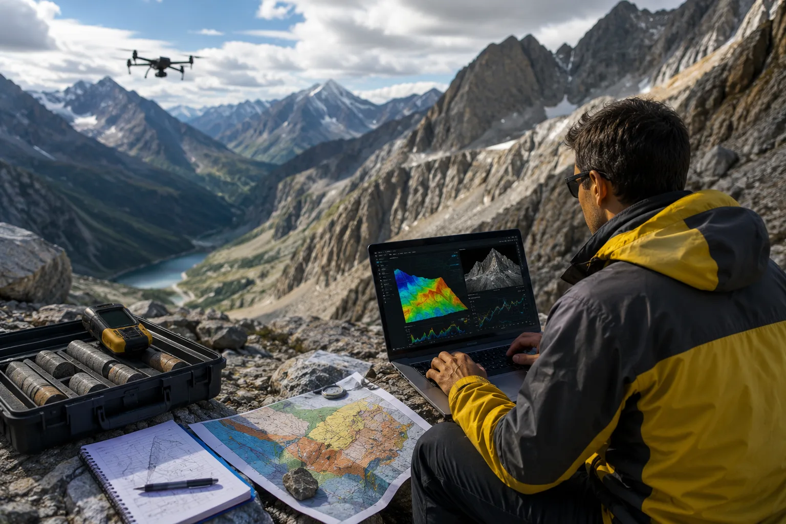
We integrate drone surveys, satellite imagery, LiDAR, and photogrammetric data with field observations to extend coverage and support structural interpretation across larger terrain.
We build three-dimensional geological models that integrate surface mapping, borehole data, geophysical results, and remote sensing into a coherent subsurface interpretation.
We assess slope stability, excavation risk, and underground opening behavior based on the characterized rock mass and structural conditions.
We translate geological findings into engineering-relevant conclusions, including alignment recommendations, support requirements, foundation suitability, and risk-ranked decision inputs.
We compare observed excavation and rock mass behavior against the geological model and update interpretations as new information becomes available.
The Groundwater Company Rock Mapping Solutions
Geological Rock Mapping & Analysis
Field-based geological mapping and rock mass analysis to support excavation planning, infrastructure design, and subsurface risk assessment.
Rock Mass Classification
Systematic geomechanical classification of rock conditions using established rock mass classification systems such as RMR, Q-System, and related engineering geology frameworks, providing a documented basis for design assumptions.
Structural Geology Mapping
Mapping of the structural architecture of the rock mass, including fault systems, joint sets, foliation, and tectonic fabric relevant to project risk.
Fault & Fracture Mapping
Detailed characterization of discontinuity systems that control rock mass behavior, stability, groundwater flow, and excavation conditions.
Tunnel Alignment Geological Assessment
Geological evaluation of proposed tunnel alignments, identifying rock mass variability, fault crossings, and geotechnical risk zones along the route.
Slope Stability Mapping
Rock mass assessment and structural analysis to evaluate slope stability risk in cut slopes, natural terrain, open pit walls, and embankments.
Mining & Quarry Mapping
Geological mapping and rock mass characterization to support resource extraction planning, bench stability, and underground access design.
Dam & Foundation Geological Assessment
Geological investigation of dam foundation and abutment conditions, assessing rock mass competence, fault presence, and seepage risk.
Rock Mapping & Visualization
We combine geological observations, drone surveys, satellite imagery, borehole data, and geospatial intelligence to build 3D rock mapping and visualization models that improve understanding of subsurface conditions.
Geospatial Terrain Analysis
Terrain analysis integrating remote sensing and field geology to support site selection, corridor assessment, and regional geological interpretation.
AI & Geological
Intelligence
AI extends the reach of geological fieldwork. It does not replace the geologist's interpretation.
Pattern Recognition
Pattern recognition across terrain, satellite, and geospatial data to identify structural features and lithological boundaries at scale.
Fracture Density Analysis
Fracture density analysis from drone photogrammetry and high-resolution imagery to support discontinuity mapping.
Geological Feature Mapping Support
Geological feature mapping support that processes large remote sensing datasets faster than manual methods allow.
3D Model Refinement
3D model refinement using AI-assisted integration of field, borehole, geophysical, and remote sensing data.
Risk Zone Prioritization
Risk zone prioritization that ranks geological hazard areas by likelihood and engineering consequence.
Unified Subsurface Intelligence
Integration of drone, satellite, field, and borehole datasets into a unified subsurface intelligence picture.
Experienced Geologist Review
Every analytical output is reviewed and interpreted by an experienced geologist before it informs a recommendation.
Documented Assumptions & Uncertainty
Where modeling is applied, results are presented with documented assumptions and uncertainty ranges, not as fixed interpretations of the subsurface.
Industries We Support
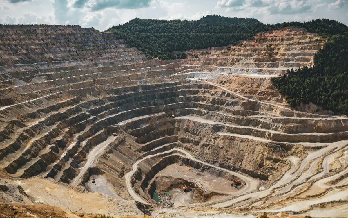
Mining & Quarrying
Rock mass characterization and structural mapping for resource extraction planning, pit wall stability, and underground access design.
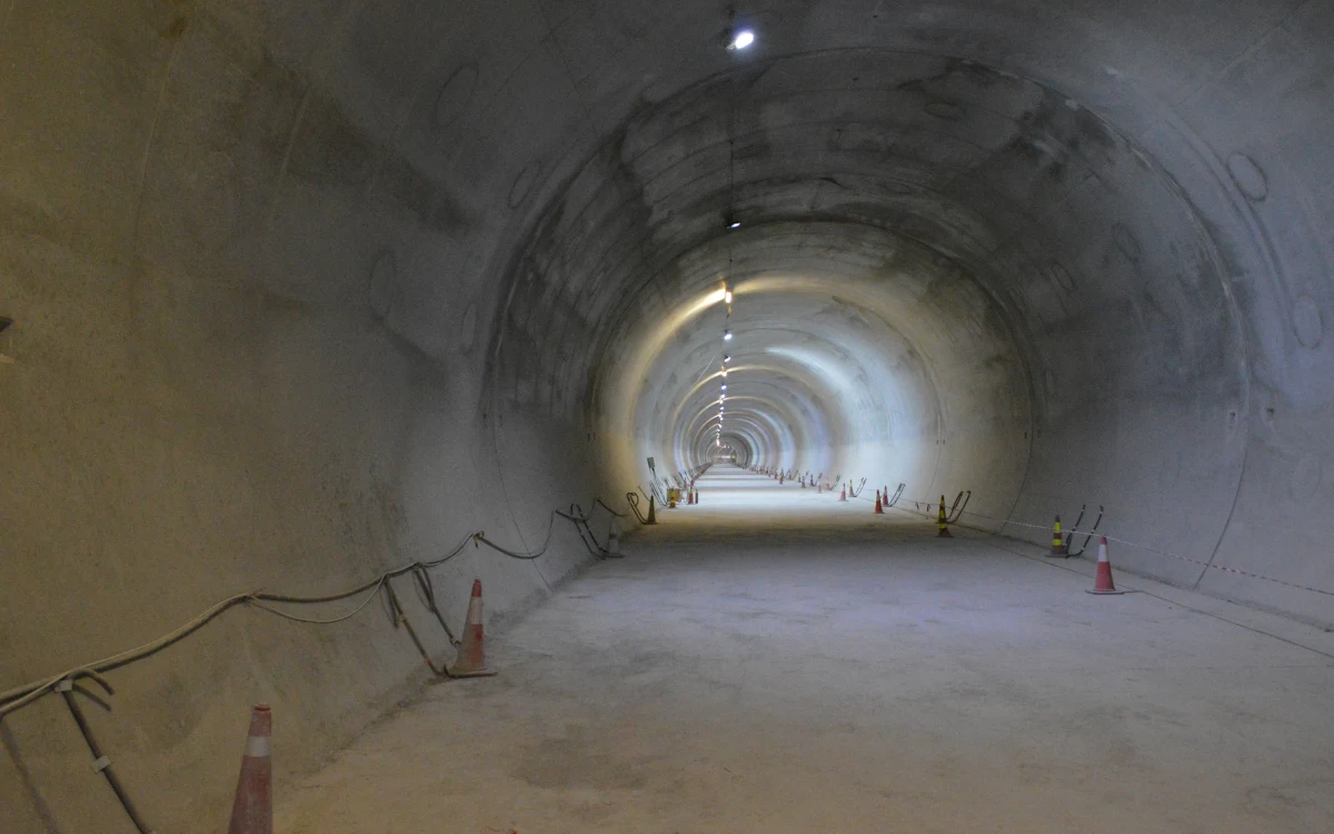
Tunnel & Metro Rail
Geological assessment along tunnel alignments, identifying fault crossings, rock mass variability, and geotechnical risk before excavation begins.
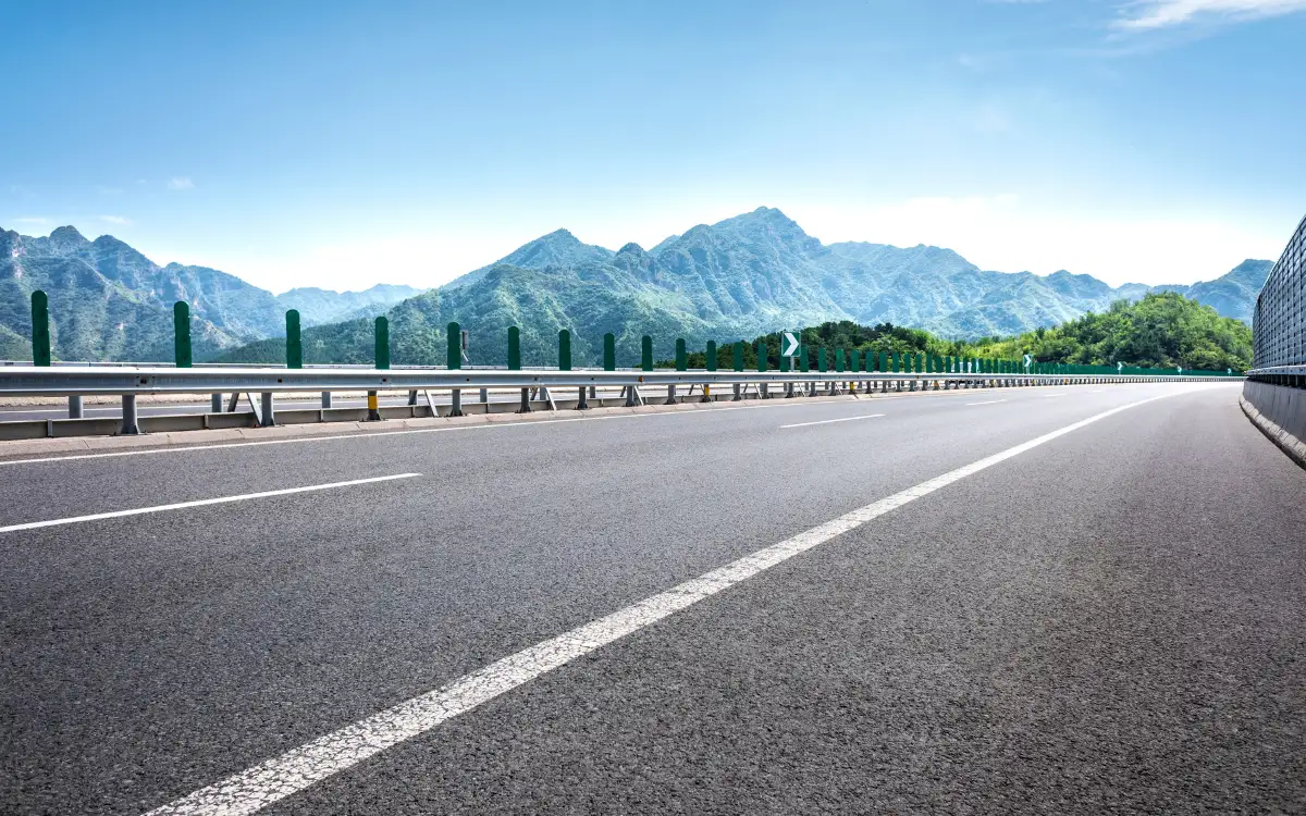
Roads & Highways
Rock slope mapping and geological assessment for cut slopes, embankments, and alignments in complex terrain.
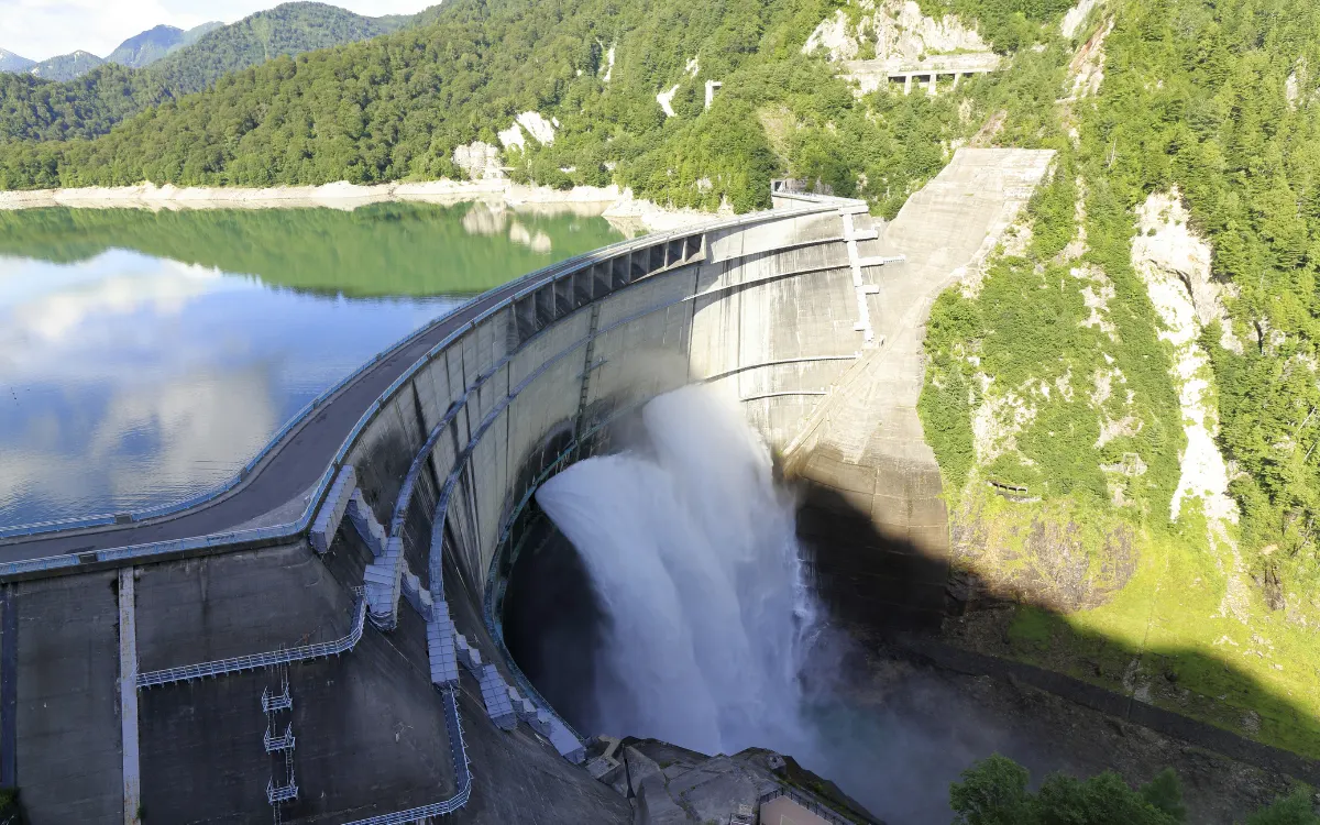
Dams & Reservoirs
Foundation and abutment geological investigation, including fault assessment and rock mass competence evaluation.
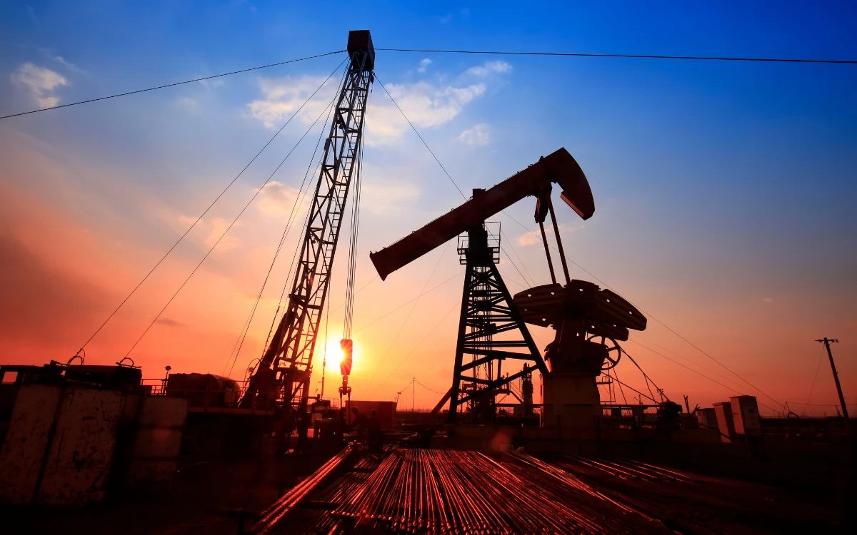
Power & Energy
Geological mapping and subsurface characterization for power plant sites, transmission corridors, and energy infrastructure in geologically active terrain.
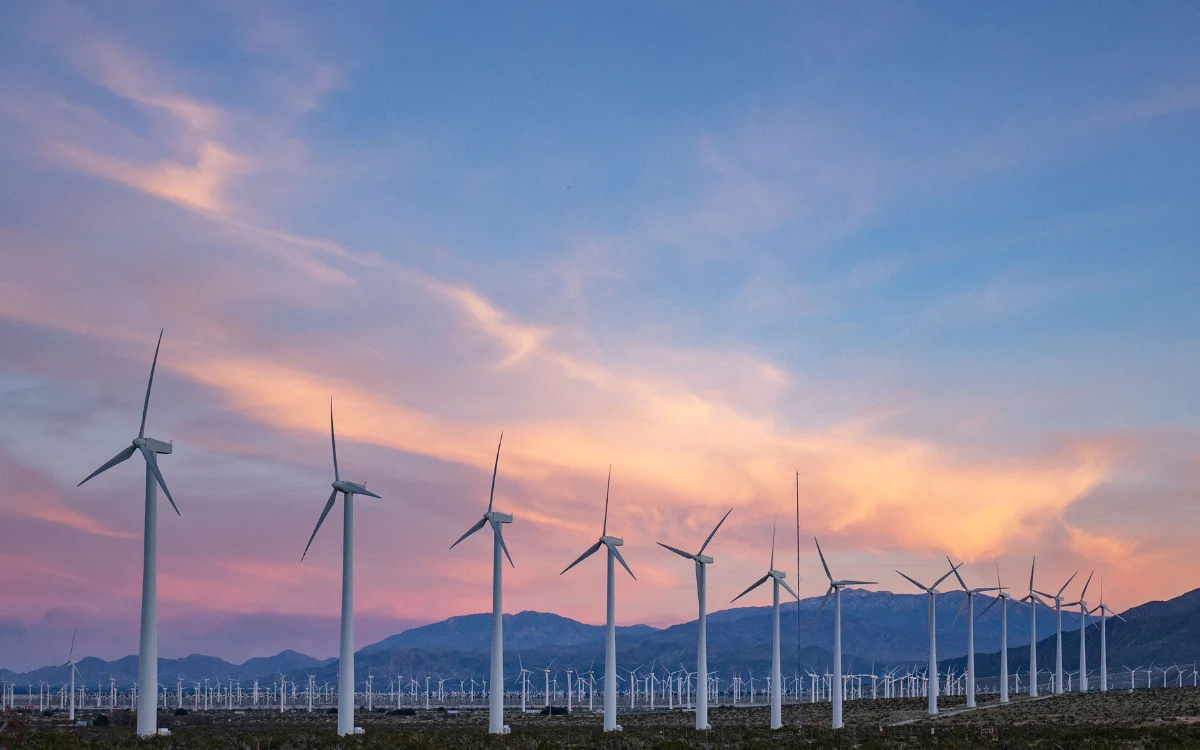
Renewable Energy
Rock mass assessment for wind farm foundations, solar facility ground conditions, geothermal sites, and related renewable energy infrastructure.
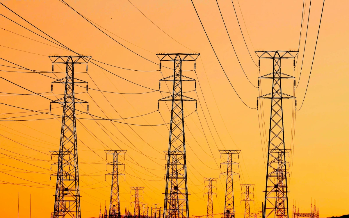
Transmission Infrastructure
Geological investigation for transmission tower foundations, high-voltage cable corridors, and substation sites in variable rock terrain.
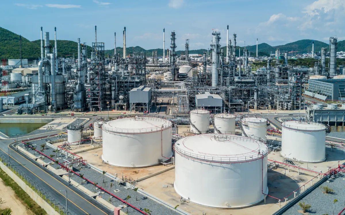
Oil & Gas
Structural geology interpretation and rock mass assessment supporting surface facility design and pipeline corridor analysis.
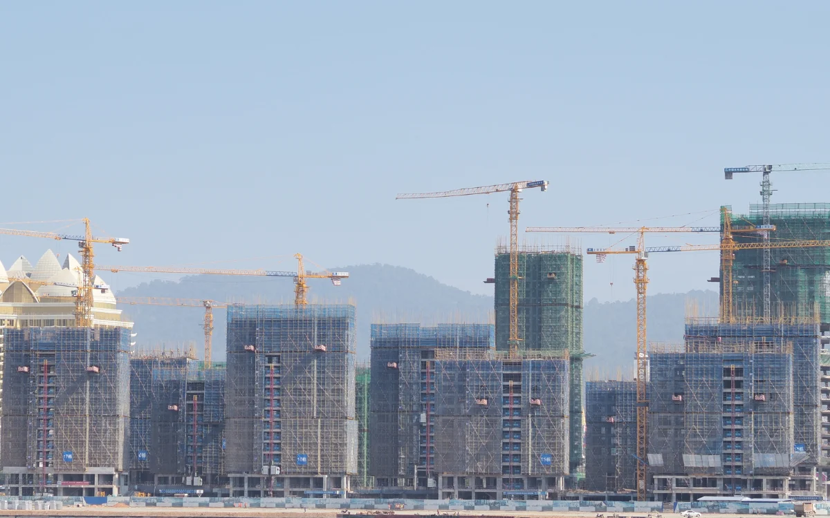
Infrastructure & Urban Development
Geological investigation for large development footprints, underground structures, and infrastructure corridors in variable rock conditions.

Government & Public Works
Technical geological support for public infrastructure programs, land assessment, and strategic project planning.
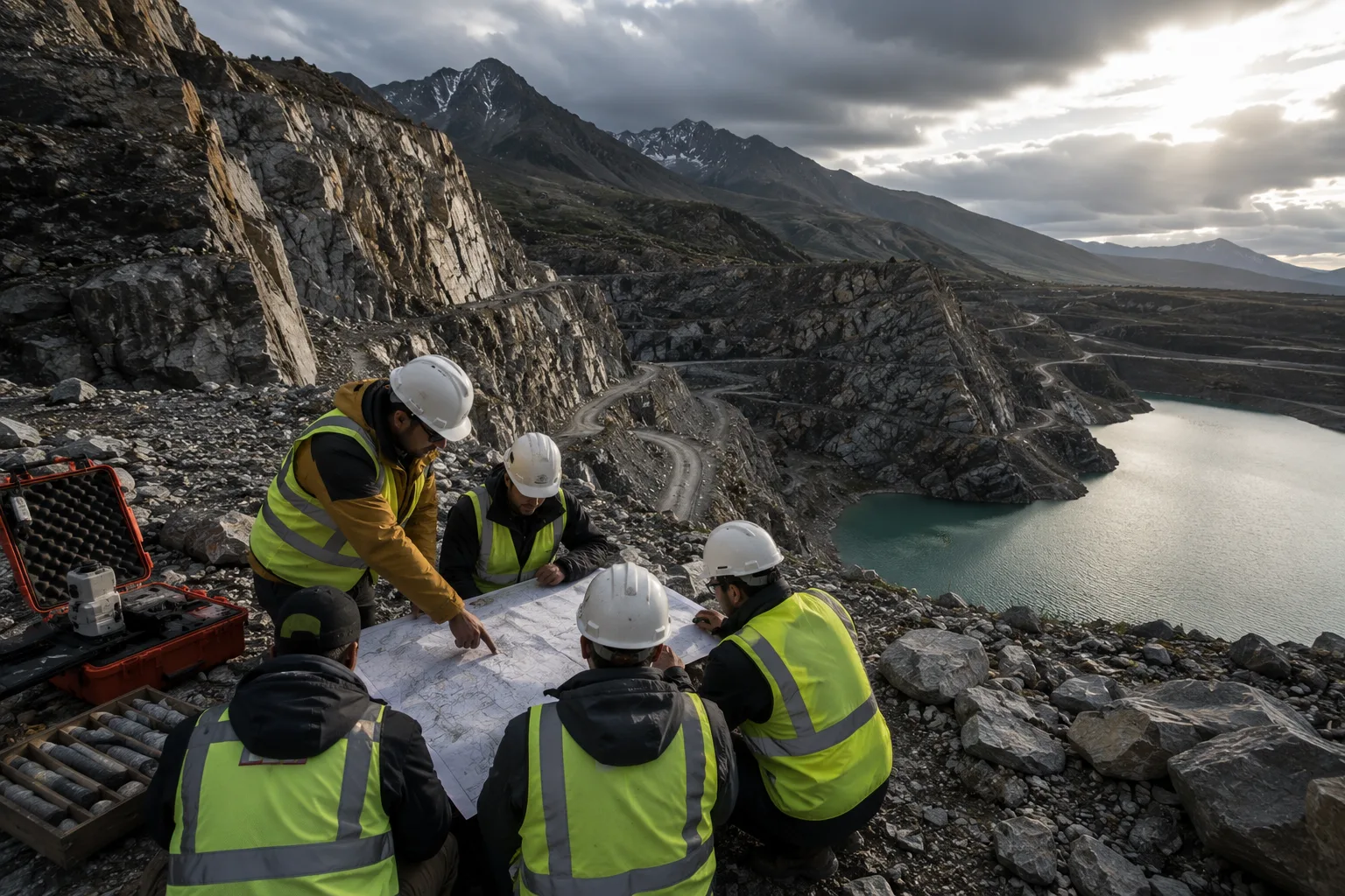
Why Organizations Choose The Groundwater Company
Field Geology Expertise
Our geological assessments are grounded in direct field investigation, not remote interpretation alone.
Structural Geology Understanding
We interpret the structural architecture of a rock mass, not just its surface appearance.
Rock Mass Interpretation
We translate geological observations into engineering-relevant conclusions, classified and documented for design use.
Geospatial Intelligence
We integrate terrain analysis, remote sensing, and field geology into a single coherent picture of site conditions.
Remote Sensing & Drone Mapping
We extend field coverage using drone photogrammetry, LiDAR, and satellite imagery, calibrated against ground observations.
3D Geological Modeling
We build three-dimensional subsurface models that integrate all available data sources into a single interpretive framework.
Experienced Rock Mapping Consultants
Our geologists, hydrogeologists, and engineering specialists combine field investigation with advanced geological interpretation to support complex infrastructure and mining projects.
Long-Term Technical Partnership
Geological conditions evolve as excavation progresses. We stay engaged through monitoring and model validation, not just through the investigation report.
The Groundwater Company Groundwater
Intelligence Solutions
Each solution produces auditable data and decision-ready outputs.
Groundwater Consulting
Aquifer studies, hydrogeological investigations, and long-term management strategies.
View Solution
Recharge & Aquifer Sustainability
Artificial recharge systems and replenishment programs with measurable yield tracking.
View Solution
Groundwater Quality Monitoring
Groundwater quality assessment, contamination monitoring, hydrochemical analysis, and long-term trend intelligence.
View Solution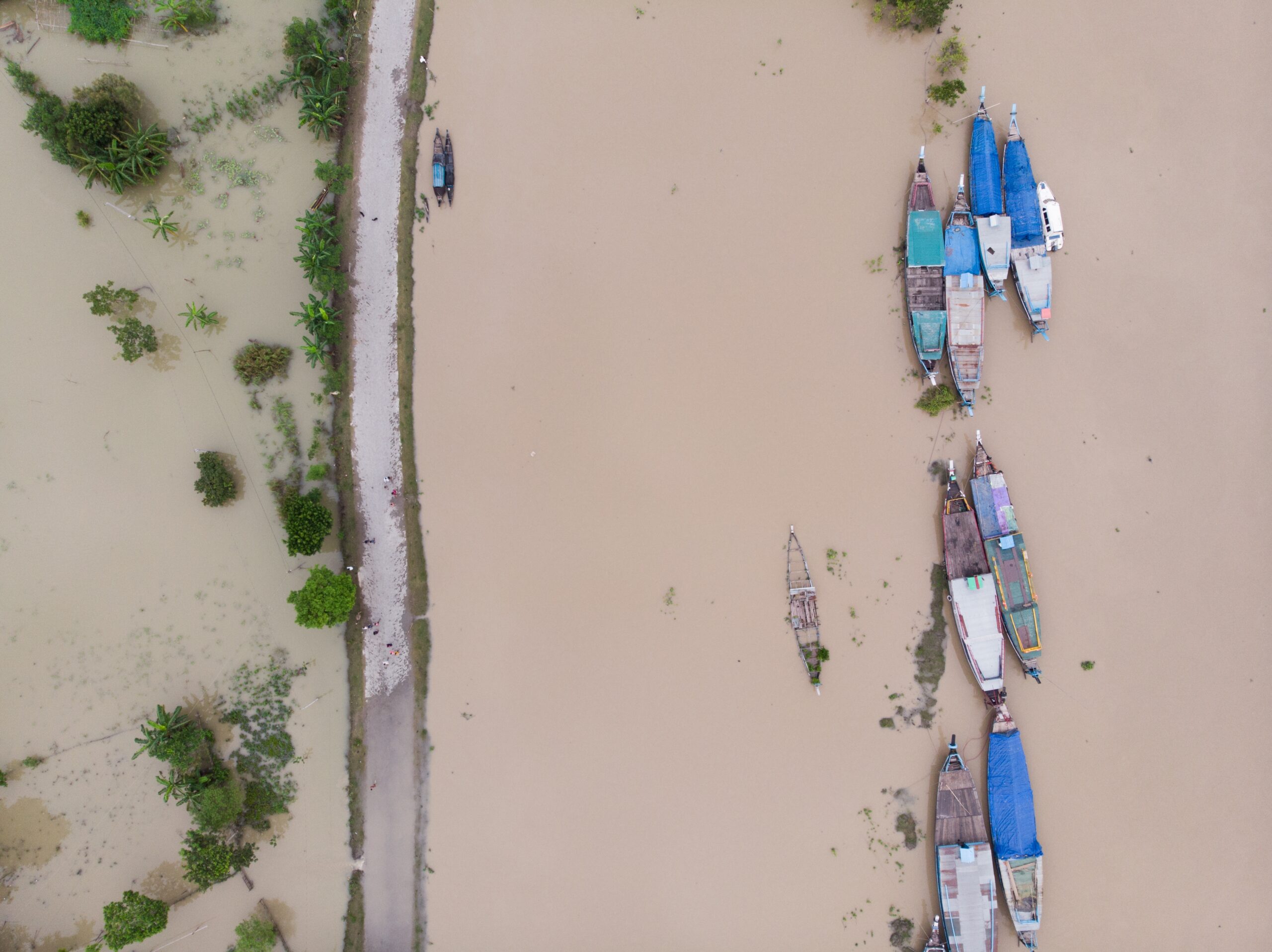
Flood Risk & Resilience
Flood assessment, modelling, mitigation planning, and resilience analysis across surface and groundwater flood sources.
View Solution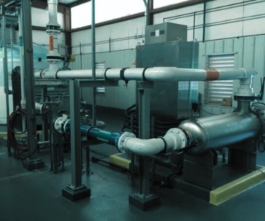
Groundwater Remediation & Recovery
Contaminated groundwater treatment, contaminant transport modelling, and regulatory closure.
View Solution
Rock & Geological Mapping
Subsurface investigations and geotechnical intelligence for mining and tunneling.
Current Solution
Groundwater Seepage Investigation
Water intrusion diagnostics for construction, metro rail, and underground structures.
View Solution
Water Risk Assessment
Risk assessment covering groundwater, water quality, supply, regulatory, operational, and sustainability exposure.
View Solution
Integrated Water Resource Management
Integrated planning across water supply, demand, allocation, sustainability, and long-term resource management.
View Solution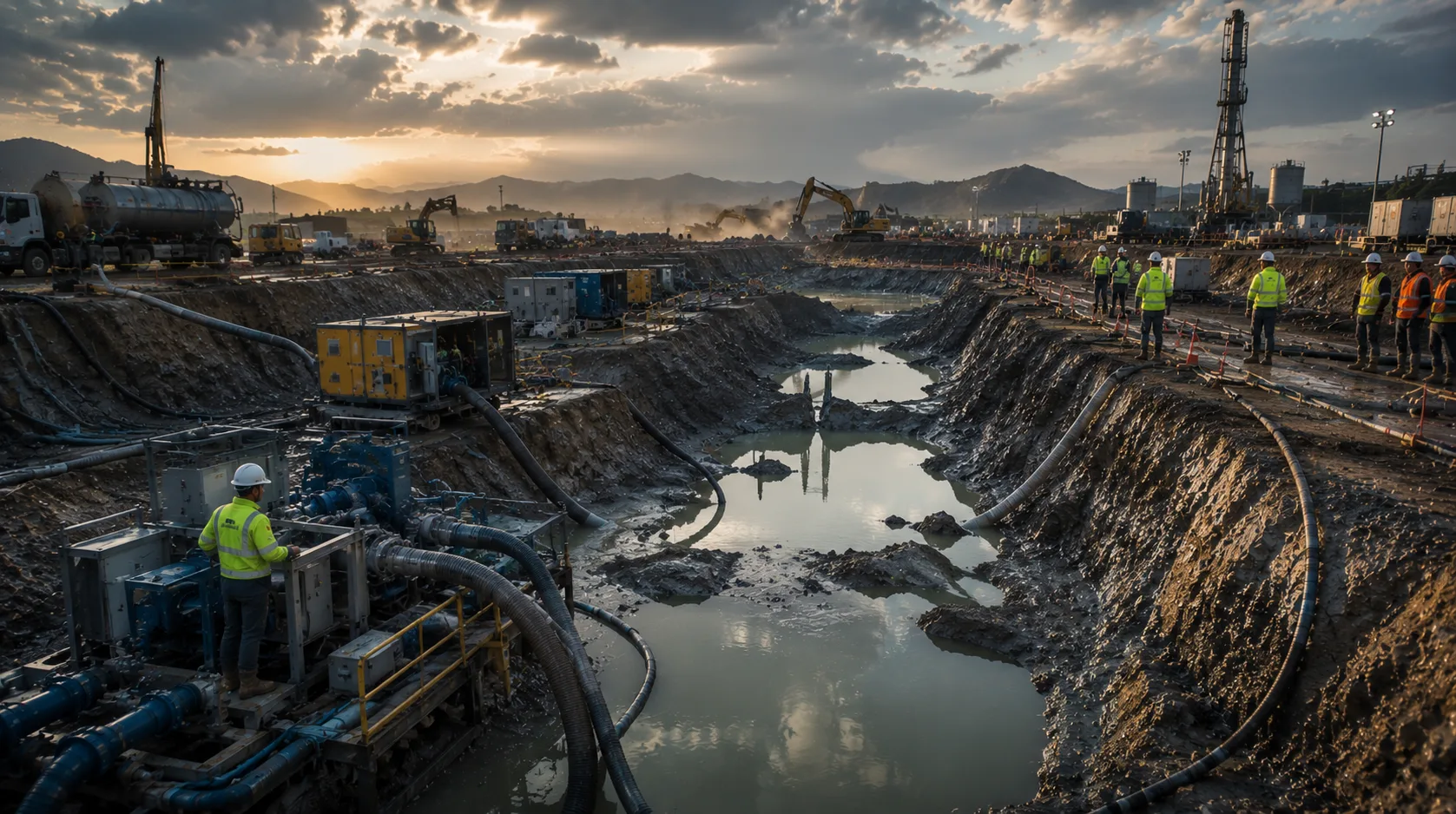
Dewatering Solutions
Groundwater control, dewatering assessment, system design, and management for construction, excavation, and mining projects.
View Solution
Soil Remediation
Contaminated land assessment and soil remediation for brownfield and industrial sites, with documentation supporting safe reuse.
View SolutionDiscuss Your Rock Mapping Requirement
If rock conditions affect excavation, alignment, slope stability, foundation design, or project cost, the next step is a technical geological assessment, not a generic survey.